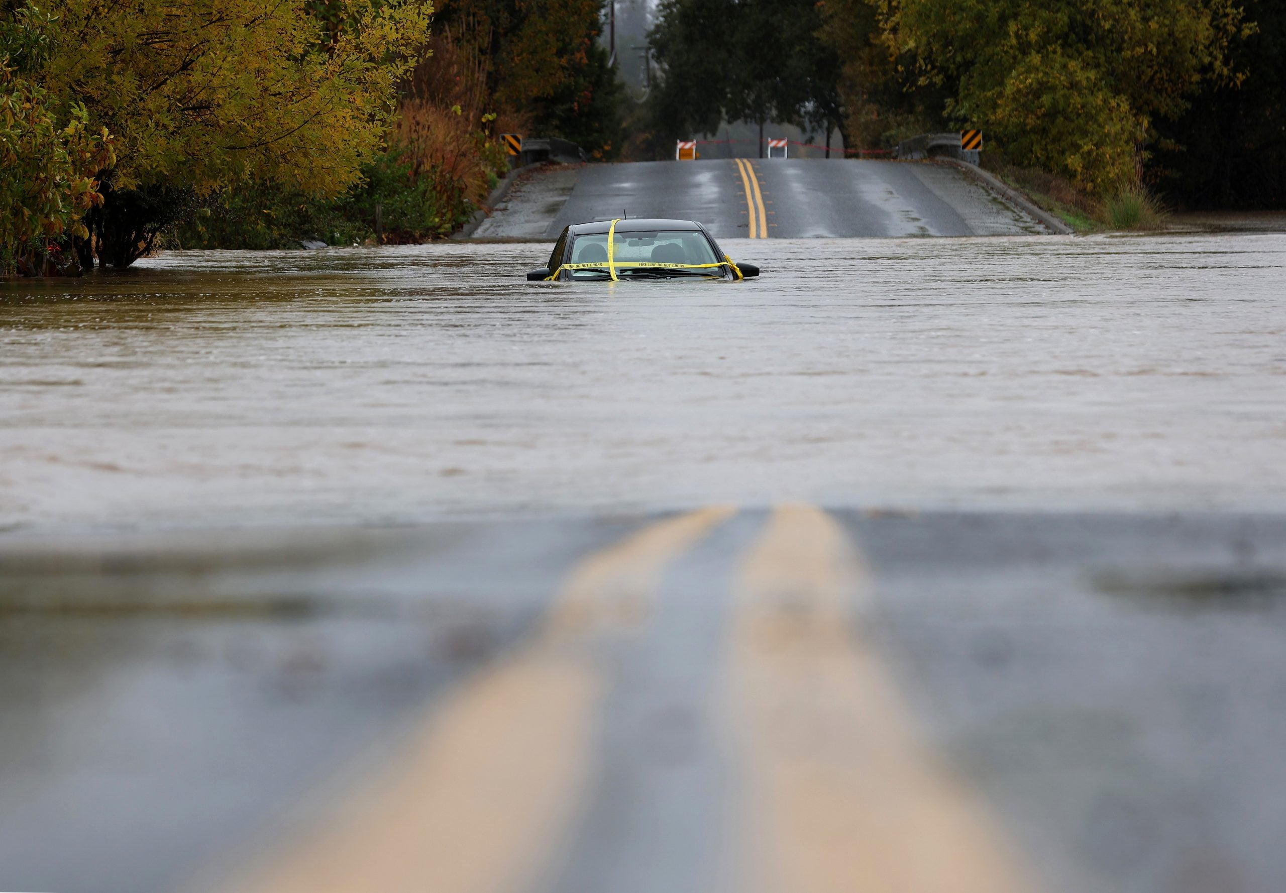
An intense atmospheric river is bringing extreme amounts of rain and snow to northern California and southern Oregon throughout the weekend as the effects from a weather pattern that spawned this week’s deadly bomb cyclone continue to wreak havoc along the West Coast. When it’s all said and done, up to 20 inches of rain may fall, the FOX Forecast Center said.BOMB CYCLONE SLAMS SEATTLE AREA WITH FIERCE WINDS LEAVING AT LEAST 2 DEAD, HUNDREDS OF THOUSANDS WITHOUT POWERAs the rain totals steadily rise, the threat of life-threatening flash flooding, rock slides and debris flows will increase. NOAA’s Weather Prediction Center has issued a rare “high” flash flood risk area for northern California for Thursday – the highest rung on the flash flood threat scale.”Dangerous flooding and debris flows are likely which will include rock and landslide activity along with a threat for burn scar flash flooding,” NOAA’s WPC wrote. The FOX Forecast Center said the event will be further enhanced by the development of another strong area of low pressure off the West Coast starting late Thursday. While this low won’t be quite as strong as the one on Tuesday, it will add additional moisture to the atmospheric river and expand the heavy rain into southern Oregon. Already, over 10 inches fell around Santa Rosa and Mt. Shasta by late Thursday morning. With heavy rains expected to persist into Friday, another 3-6 inches are expected across the region with isolated areas reaching 6-10 inches.That would bring total rainfall amounts to 12-16 inches in many spots by Friday morning with isolated totals to 20 inches. Flood Watches cover much of the region and the NWS warns that flooding on the Eel River near Fernbridge will bring major impacts to the area.Several roads were closed between Santa Rosa and Windsor due to flooding, and Sonoma County Sheriff’s deputies reported between 7-10 water rescues so far along Mark West Springs Road. Winds will also increase along the coast and at higher elevations. High Wind Warnings are in effect for gusts to 65 mph into early Friday. Additional power outages appear likely beginning Thursday night.Like most atmospheric rivers, this one has dumped several inches of snow in the Siskiyous and Sierra Nevada. Castle Peak reported 20 inches of snow through 4 a.m. Thursday with 17 inches at Soda Springs and 11 inches at Kingvale. The northbound lanes of Interstate 5 were closed north of Redding into the Siskiyous for a period Wednesday evening due to heavy snows, but the freeway has since reopened.The snow will take a break for all but the highest peaks Thursday, as mild Pacific air flows in and snow levels skyrocket above 8,000 feet. The melting snow between 3,000 to 8,000 feet will only act to further increase the flood threat Thursday into Friday, the FOX Forecast Center said.Snow levels will plummet back down to 3,000 to 4,000 feet on Saturday as colder air moves into the region. WHAT IS A BLIZZARD?DOWNLOAD THE FREE FOX WEATHER APPAs much as 6 feet could fall across the highest peaks by Saturday’s end. Up to 2 feet could fall along I-5 in the Mount Shasta region. To the north, a couple of inches will fall along I-5 as the system moves through Siskiyou Pass in southern Oregon.
/
November 22, 2024
Atmospheric river puts California on alert for life-threatening floods, debris flows from relentless rain
