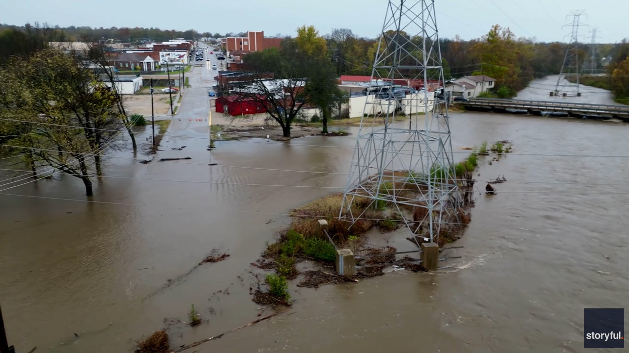
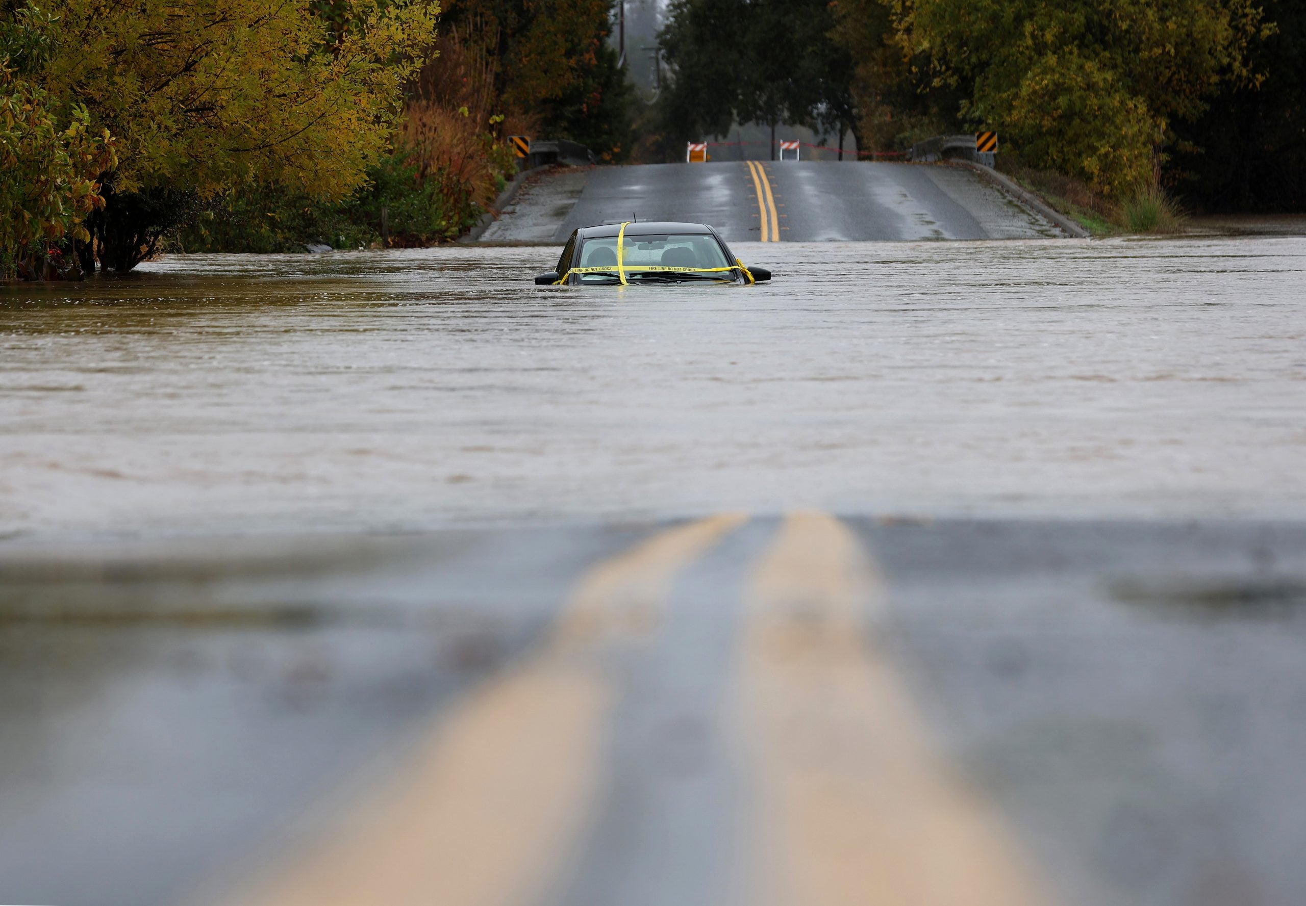
ST. LOUIS – At least three people were killed Tuesday after torrential rainfall led to flash flooding in central and eastern Missouri, impacting transportation and making it challenging for some voters to reach their polling place.According to the St. Louis County Police Department, preliminary investigations revealed that one of the victims, identified as an adult female, drove her car into floodwaters in the area of Interstate 55 and Bayless Avenue in St. Louis Tuesday morning as the worst of the flash flooding was ongoing. Police said the cause of death is currently unknown, but the investigation is ongoing.The two other fatalities involved poll workers in Wright County, Missouri, the Wright County Clerk’s Office confirmed in a statement to FOX Weather. The victims were a man, 70, and a woman, 73, who drowned trying to swim to dry ground after their vehicle was swept into floodwaters, according to the Missouri State Highway Patrol. Hailing from the Manes, Missouri, area, both were found deceased at 8:45 a.m. local time.The relentless rain, which shattered November rainfall records, turned streets into rivers, inundated homes and forced widespread closures.The Jefferson County Sheriff’s Office first reported just before 7 a.m. that Twin River Road near Highway W was impassible, making it difficult for voters to get to a polling location at Brookdale Farms in Eureka. Deputies have advised residents to proceed to the Administration Building in Hillsboro as an alternative voting location.”Voters have yelled at deputies on flash flood assignments suggesting that they are intentionally suppressing votes,” the sheriff’s office said. “Nothing could be further from the truth. We are trying to keep everyone updated on road closures so you can go around and vote. Simply ask the deputy for an alternate route if we don’t have it posted.”2024 ELECTION DAY FORECAST: COULD THE WEATHER HAVE ANY IMPACT ON VOTING TRENDS?The St. Louis County Board of Elections said the polling place at Holy Name Community Center in Bellefontaine Neighbors had a power outage following the storms. While voting continues with generator power, the board encourages voters to detour to another voting location.St. Louis International Airport has broken multiple rainfall records. As of Tuesday morning, the airport had already received 3.25 inches of rain, surpassing the previous daily record of 1.62 inches set in 1956.The unprecedented rainfall event has also set a new record for the highest 24-hour rainfall total for the month of November. With over 6.4 inches of rain falling since Monday, the airport has shattered the previous record of 3.56 inches set on Nov. 18, 1921.The nearly 7 inches of rainfall in a 24-hour period caused Deer Creek to overflow its banks, submerging major streets in Maplewood, Brentwood and Webster Groves, FOX 2 in St. Louis reported.The deluge forced the Brentwood School District to cancel classes Tuesday due to power outages and flooding. First responders rescued stranded motorists, including those trapped on Interstate 55 near Bayless Avenue, which was closed due to flooding, FOX 2 reported. St. Louis County police confirmed to FOX Weather that a person was found dead inside a vehicle as waters began to recede. Five other vehicles were also discovered after the flooding had subsided, but the occupants were able to escape.In St. Francois County, officials issued voluntary evacuations for Iron Mountain Lake due to the possibility of a levy failing near the town. In Bismarck, the firefighters responded to multiple water rescues Monday.SEVERE WEATHER POUNDS PARTS OF CENTRAL US ON MONDAYDrone footage captured the force of the flash floods, showing rapid water surges surrounding homes and businesses in Park Hills.As the waters begin to recede, residents are left to assess the damage and clean up the debris. Showers and storms will taper off from west to east Tuesday afternoon. Those in the area can expect dry and mild conditions Wednesday and Thursday, with highs in the mid-50s to mid-60s.HOW TO WATCH FOX WEATHERThe threats of heavy rain and severe weather are shifting farther east toward the Mississippi Valley on Tuesday ahead of a cold front. As the system tracks farther north across the Upper Midwest and then into the Great Lakes by Tuesday night, the heavy rain threat across the Mississippi Valley will gradually lessen, according to the FOX Forecast Center.The front is forecast to become nearly stationary across the Ohio and Tennessee Valleys by Wednesday with only scattered showers and thunderstorms remaining in the vicinity into Thursday morning.While the rain amounts will be on the lighter side Tuesday, enough could fall in a short enough time to lead to minor flooding of flood-prone, low-lying areas as well as urban areas. These strongest storms could also become severe, producing 50-60 mph wind gusts and perhaps a brief tornado or two.
