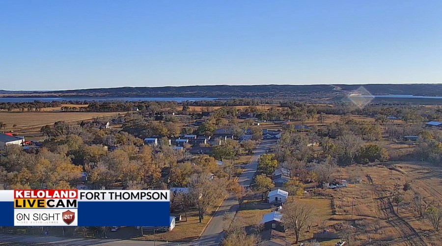
SIOUX FALLS, SD (KELO) — It has been another gorgeous day across KELOLAND, with ample amounts of sunshine and seasonably mild temperatures for everyone to enjoy. This may also be the last day like this for at least a little while, so I hope you were able to enjoy it.
As of 4 pm CST Sunday
We’ll stay quiet as we head into the night, with high pressure in play just enough to keep us mostly clear at first. Cloud cover will begin to make its move overnight and into Monday morning, setting the stage for what’s to come…especially if you’re East River.
Low pressure pushes northward as we head into the day on Monday. A sharp divide is likely between those who get a good amount of rain and those who don’t…especially given the track of this area of low pressure.
We could be looking at a good amount of rain out of this into Tuesday morning, especially East River, so keep this in mind. This is subject to change depending on where the low tracks as mentioned before…so don’t get too attached to where the cut-off is currently. This can wobble west or east.
Some snow showers may crash the party on the back edge of low pressure on Wednesday with chilly and windy weather in place. These would be the first flakes of the season for some. Keep an eye out for updates on the Wednesday outlook.
We’ll also have breezy conditions on the way for the midweek outlook. This, combined with chillier temperatures, will set the stage for wind chills in the teens at times. At least it’s the teens above zero. Still…plan accordingly.
By Thursday, we quiet down again and stay quiet into next weekend. All the while, temperatures remain a lot closer to average.
Here’s a look at your extended forecast:


