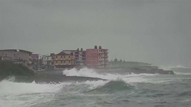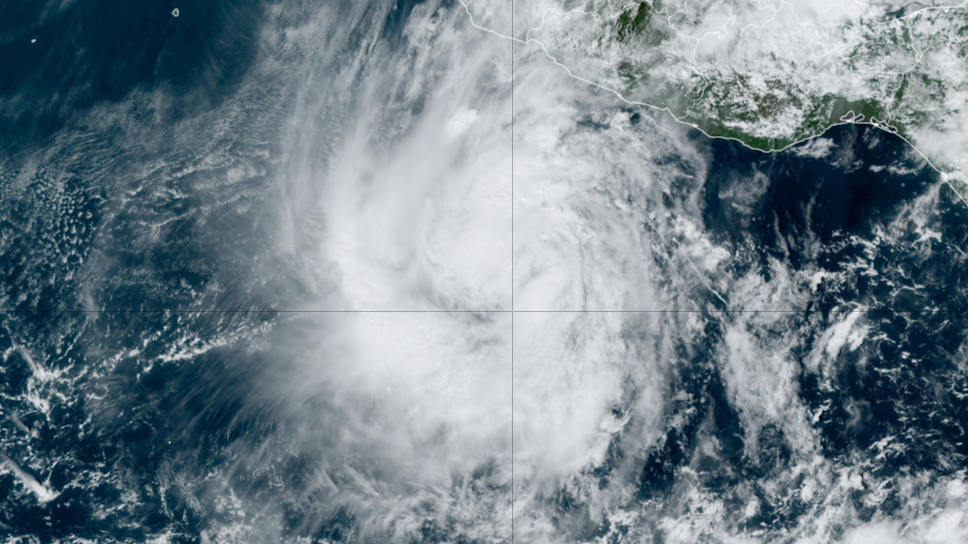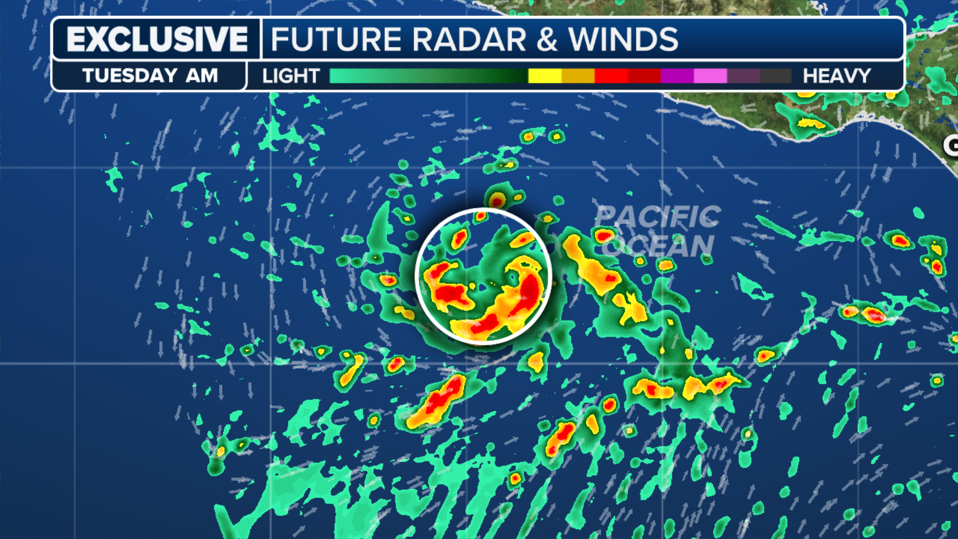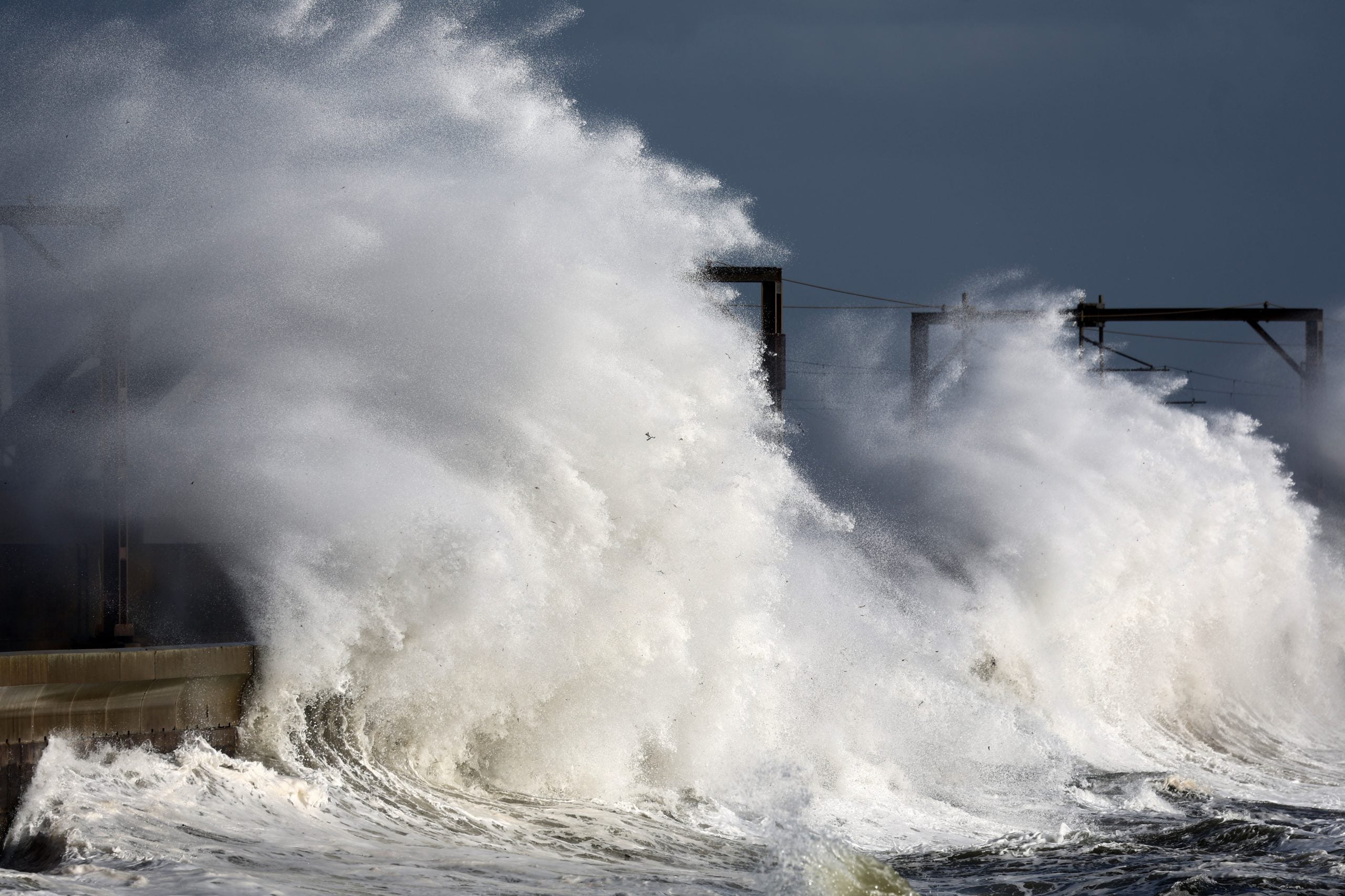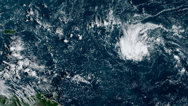
MIAMI – Forecasters with the National Hurricane Center (NHC) are continuing to monitor the progress of Invest 94L in the Atlantic and have now designated a disturbance in the western Caribbean Sea as Invest 95L, which could develop into a tropical depression or tropical storm near Central America.HOW TO WATCH FOX WEATHERThe NHC said shower and thunderstorm activity continues in the western Caribbean Sea associated with a broad area of low pressure.The system was dubbed Invest 95L on Thursday afternoon, with the NHC noting it could gradually develop over the next couple of days before it moves inland over Central America. Currently, the NHC gives it a medium chance of development before it impacts countries such as Belize and Guatemala.Regardless of development, locally heavy rain is likely across portions of Central America and southern Mexico through the weekend.”The biggest threat from the system appears to be heavy rain causing flooding and possible mudslides over Central America,” Norcross said. Norcross says hostile atmospheric conditions over the Florida and northern Gulf of Mexico should keep any potential tropical systems from threatening the U.S. for the foreseeable future. Forecasters with the NHC said Invest 94L is a broad area of low pressure east of the Leeward Islands that has been producing disorganized precipitation and thunderstorms.”The disturbance still has a reasonably well-defined but broad circulation,” says FOX Weather Hurricane Specialist Bryan Norcross. “But dry air has not allowed thunderstorms to organize and persist, which in turn would tighten the circulation – the requirements for the tropical depression designation.”The NHC said Invest 94L is expected to generally move off to the west or west-northwest, and some slow development is possible over the next couple of days as it heads toward the northeastern Caribbean islands.DOWNLOAD THE FREE FOX WEATHER APP”On the current schedule, the disturbance will be near or north of Puerto Rico and the nearby islands about Friday, then slowly continue to the west toward the southeastern Bahamas or perhaps near Haiti or eastern Cuba,” Norcross said. “It’s not clear that the system will be identifiable by that time, but it will draw tropical moisture over the mountainous islands, bringing the possibility of flooding and mudslides.”If you plan to travel to popular warm-weather destinations such as Puerto Rico or the U.S. Virgin Islands, you’ll want to monitor the forecast.For the millions of people in Florida still recovering from back-to-back major hurricanes, Helene and Milton, Invest 94L doesn’t appear to be impacting the Sunshine State at this time. “There is no threat to Florida or the southeastern U.S., but everyone on the northeastern Caribbean islands should stay informed just to be sure the disturbance doesn’t misbehave,” Norcross said. The NHC is giving the system a low and dwindling chance of developing over the next week.