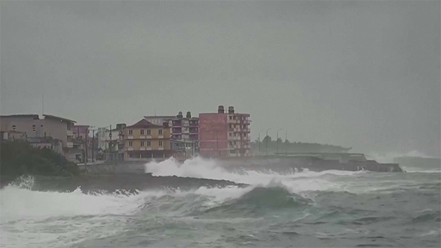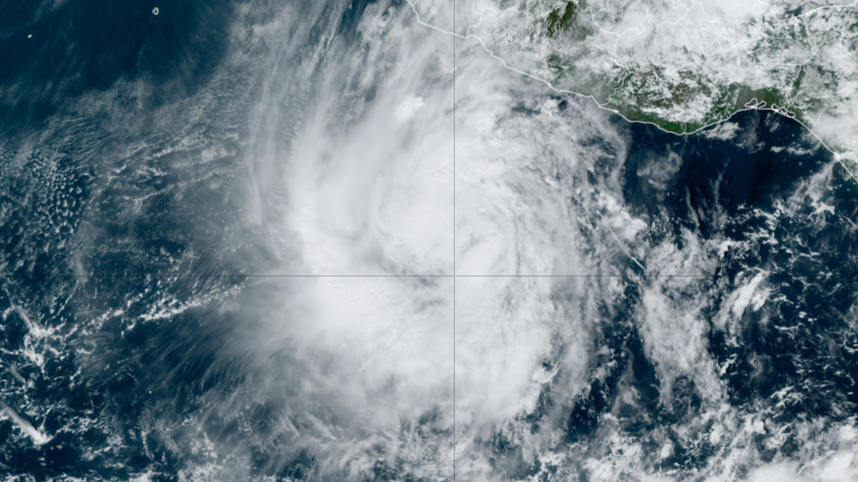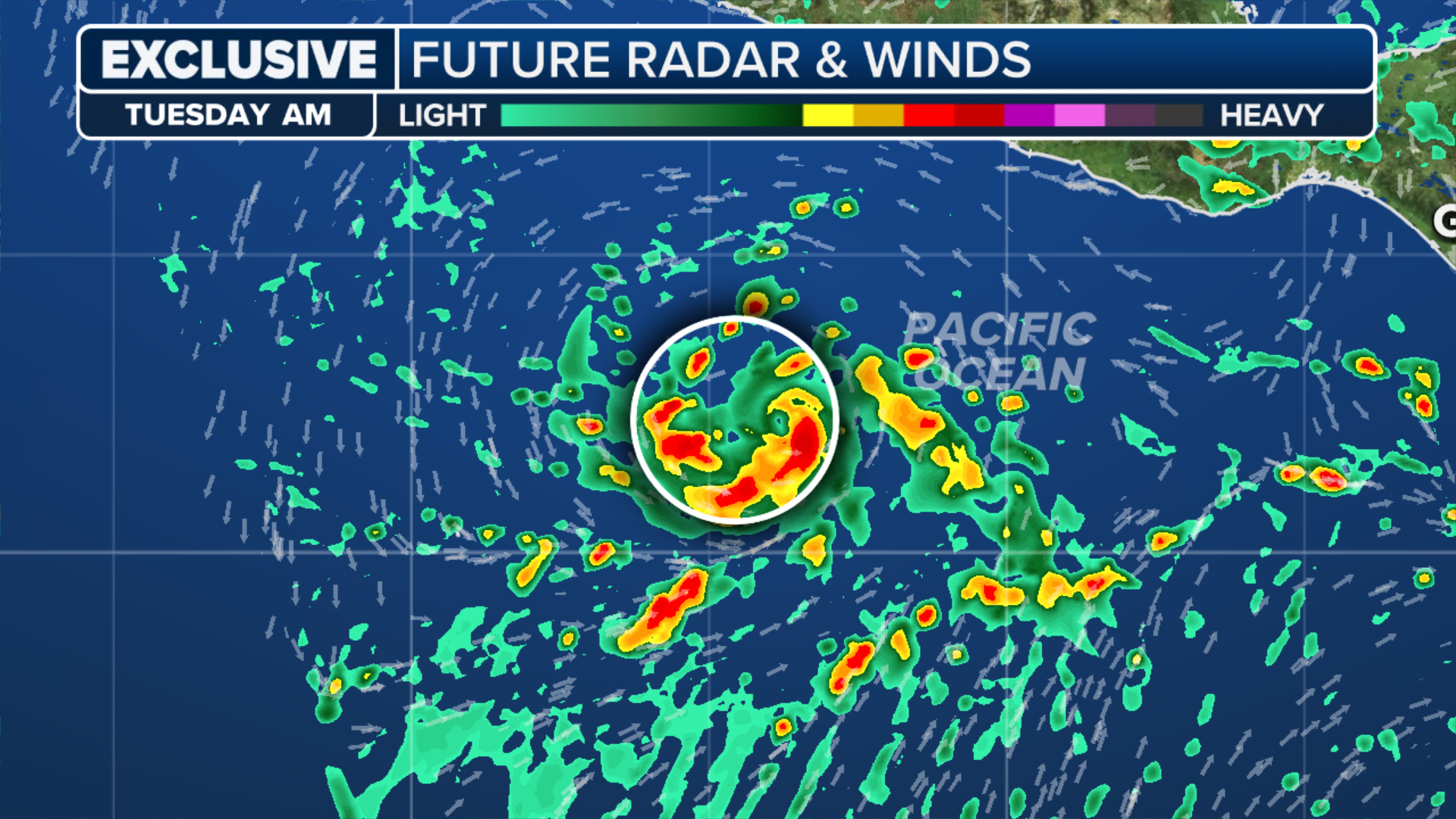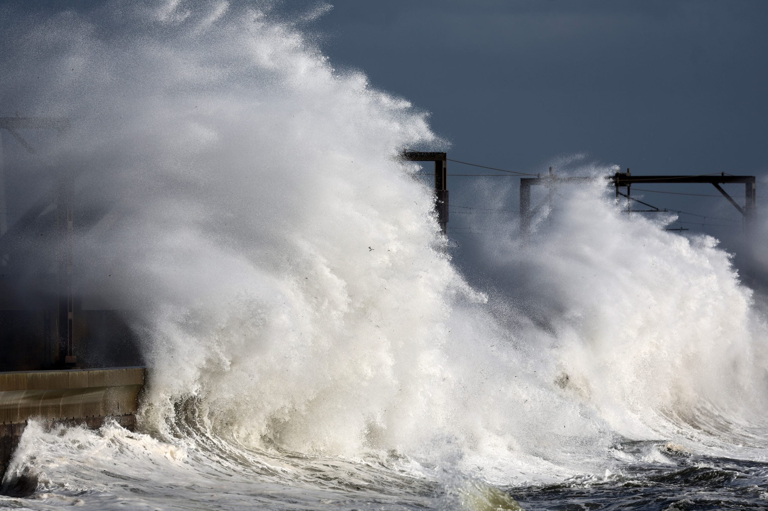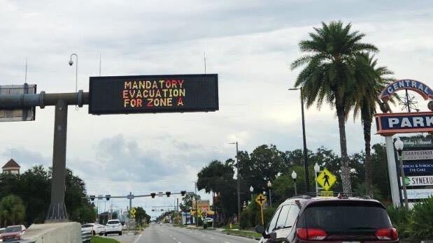
TAMPA, Fla. – Hurricane Helene continues to intensify in the Gulf of Mexico, where it’s now expected to become a Category 4 hurricane ahead of an anticipated landfall along the Florida Gulf Coast on Thursday, bringing a catastrophic storm surge up to 20 feet. Nearly the entire state of Florida is under some sort of tropical weather alert, with Tropical Storm Watches extending hundreds of miles to the north into Georgia and the Carolinas, including cities like Atlanta.TRACKING HURRICANE HELENE: LIVE FORECAST CONE, SPAGHETTI MODELS, ALERTS, WIND PROJECTIONS AND MOREThe National Hurricane Center (NHC) says that because of Hurricane Helene’s massive size, there is a danger of life-threatening storm surge along the entire west coast of the Florida Peninsula, as well as Florida’s Big Bend region.”A catastrophic and deadly storm surge is likely along portions of the Florida Big Bend coast, where inundation could reach as high as 20 feet above ground level, along with destructive waves,” the NHC said. “There is also a danger of life-threatening storm surge along the remainder of the west coast of the Florida Peninsula.”The Big Bend coast is expected to experience the highest inundation, with as much as 20 feet of storm surge from Carrabelle to Chassahowitzka. Residents are being urged to leave the coast for safety if authorities tell them to.Tampa Bay could see 5-8 feet of storm surge inundation under current forecasts. Mandatory evacuations have already been issued for numerous counties in Florida, including Hillsborough County, which is where Tampa is located. A flood barricade was completed around Tampa General on Wednesday to protect the hospital from a significant storm surge.Florida Gov. Ron DeSantis issued an executive order on Tuesday declaring a state of emergency for 61 of the state’s 67 counties to help agencies prepare for the incoming storm.According to the Florida Division of Emergency Management, more than 500 residents were in shelters as of Wednesday evening.HOW TO WATCH FOX WEATHERPreparations are also being made along the I-4 Corridor. Florida’s theme parks, including Disney World and Universal Orlando, have announced some closures ahead of landfall.DOWNLOAD THE FREE FOX WEATHER APPAs the hurricane picks up forward speed, it’s also gaining strength.Hurricane Helene currently has maximum sustained winds of 85 mph, and additional strengthening is expected before landfall.The NHC says Helene is expected to become a major hurricane, defined as winds of at least 115 mph, as it moves toward the northeastern Gulf Coast on Thursday. The current 130-mph peak intensity forecast would rate the storm a Category 4 hurricane on the Saffir-Simpson Scale.After landfall, Helene is forecast to slow down and turn northwest, moving over the Southeast through Friday and Saturday. This will bring widespread heavy rain, damaging wind, and possible tornadoes to cities in the Southeast. Governors in Georgia, South Carolina and North Carolina have declared states of emergency ahead of the worst impacts. FEMA has been pre-positioning resources across Helene’s impact area as the system tracks toward the U.S. “It’s not just Florida, this is going to be a multi-state event,” FEMA Administrator Deanne Criswell said. “We’re also sending resources into Georgia, South Carolina and North Carolina because they are going to get significant rainfall in a place that is susceptible to flash flooding.”A Hurricane Warning has been issued from Anclote River to Mexico Beach, Florida, where damaging hurricane-force winds are expected to begin later Thursday. The NHC is urging those in the warning areas to complete any preparations by early Thursday morning.Tropical Storm Warnings are in effect for all of the Florida Keys and Dry Tortugas, as well as the entire Florida west coast from Flamingo to Anclote River, including Tampa Bay. The Tropical Storm Warnings are also in effect west of Mexico Beach to the Okaloosa/Walton County line, and the east coast of Florida from Flamingo northward to the South Santee River.A Storm Surge Warning is in effect for Mexico Beach on Florida’s Panhandle to Charlotte Habor in Southwest Florida.WHAT TO DO WHEN HURRICANE OR TROPICAL STORM WATCHES AND WARNINGS ARE ISSUED FOR YOUR TOWNHelene is expected to be a large hurricane in size – perhaps ranking among the 90% percentile among typical hurricanes in the area, according to the NHC.With the large storm size and track, life-threatening storm surge is possible. Water could reach up to 20 feet above dry level if the surge comes in at high tide from Carrabelle to Chassahowitzka, and between 8 and 12 feet from Chassahowitzka to the Anclote River.WHAT’S THE DIFFERENCE BETWEEN A TROPICAL DEPRESSION, TROPICAL STORM AND HURRICANE?Tampa Bay could see water levels rise 5-8 feet, while Charlotte Harbor could see a storm surge of 3-5 feet.Storm surge of varying heights is expected all along the entire west coast of Florida, with higher levels expected the closer you get to Helene’s eventual landfall location.”There is increasing confidence of Catastrophic and/orpotentially Unsurvivable storm surge for Apalachee Bay,” the National Weather Service in Tallahassee said.Torrential rain from Helene will bring “considerable” flash and urban flooding across the Southeast, according to the NHC, with totals of 4-8 inches and isolated amounts around 12 inches. Significant river flooding is also a risk.So big storms are able to carry their momentum, carry their power further inland,” Jamie Rhome, Deputy Director of the National Hurricane Center told FOX Weather. “And so what we’re going to see is the impacts are going to go much further inland than people are used to seeing.