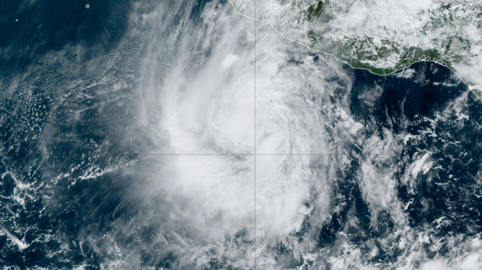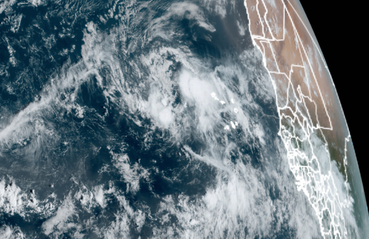
MIAMI – A potential tropical disturbance in the eastern Atlantic Ocean is embarking on a long journey west, though it appears for now it’ll refrain from developing into a tropical depression Saturday, according to the National Hurricane Center. The disturbance, currently designated Invest 94L by the NHC, is located just west of the Cabo Verde Islands. It brought tropical storm-force winds and heavy rains to the archipelago Friday night. The NHC said earlier Saturday there were some signs the storm system could briefly develop into a tropical depression at some point during the day, but the storm has so far failed to develop and odds have dropped to 30% for reaching a tropical depression. With the atmosphere looking less conducive for development for a while, it appears the disturbance will remain Invest 94L for the time being. WHAT IS AN ‘INVEST’?At this point, the disturbance is expected to hold steady without further development through at least the middle of the workweek. However, long range forecasts suggest the disturbance will maintain a general westerly track for several days as it crosses the Atlantic. Forecasters will keep a close eye on the storm as it begins to approach the eastern fringes of the Caribbean. “(It will) proceed on a westerly path that could take it near the northeastern Caribbean islands in about a week,” FOX Weather Hurricane Specialist Bryan Norcross said. “The disturbance could arrive as anything from a developing tropical disturbance, to Tropical Storm Nadine, to a messy surge of tropical moisture.”