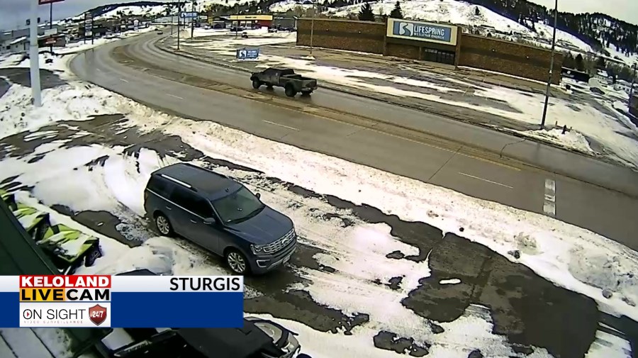
SIOUX FALLS, S.D. (KELO) — Most people would argue this winter in KELOLAND has been pretty easy overall. Sure, the month of January has been below normal, but a break toward milder weather next week could meet the definition of a January Thaw.
Contractor working on light pole when it fell on I-229
Month to date, it’s easy to see most of the country east of the Rockies has been colder than normal. In fact, most of western South Dakota has been a solid 10 to 15 degrees below normal.
Historically speaking, the coldest average highs for the year fall in mid-January, roughly a month after the winter solstice. However, many years will also feature a sizable warming trend around the third or fourth week of January, otherwise known as a January thaw.
January thaws are typically more talked about in the Great Lakes or New England than KELOLAND. In a winter like this one, we’ve had opportunities to cycle mild Pacific air on several occasions.
The timing of the next mild surge would land just right on the calendar, starting the third week of January. We would typically expect a January thaw to last at least 3 or 4 days, perhaps a week in some years.
While the details of the forecast get worked out, pockets of 40 degree weather would not be surprising next week.
