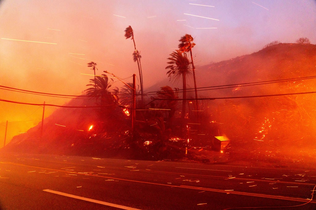
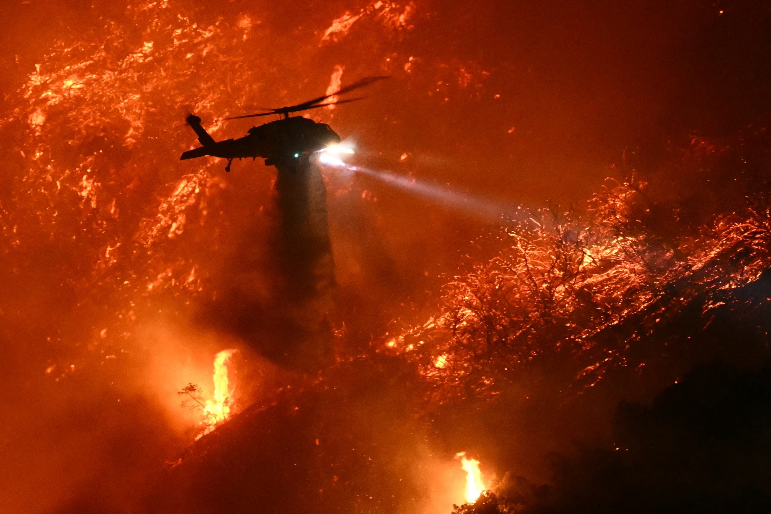
LOS ANGELES — Firefighters welcomed a break Saturday morning from the dangerous Santa Ana winds, whose fierce and dry gusts have been fanning multiple deadly wildfires across the Los Angeles area. But the reprieve will only be measured in hours, as strong winds return later Saturday.Fire Weather Watches are back in effect for Los Angeles and Ventura Counties from Saturday evening into Sunday morning — just the start of another long-duration multi-round fire weather event that will last right through the middle of the week.WHAT ARE THE SANTA ANA WINDS?While the worst of the upcoming winds will be in a second wave Monday night into Tuesday, this initial return of the Santa Anas still has plenty of potential for impacts on the vulnerable region.Northeast winds will increase to 15-30 mph with gusts to 50 mph on Saturday evening, with a few gusts up to 70 mph possible in the San Gabriel, Santa Susana and western Santa Monica Mountains, according to the FOX Forecast Center.Along the Palisades Fire, winds will shift back to the northeast and gust in the 35-50 mph range. Winds here briefly returned to an onshore ocean breeze Friday night pushing the wildfire to the north and east and triggering new evacuations along Interstate 405. But offshore winds return Saturday.Of even more concern will be around the Eaton Fire, where wind gusts may exceed 60 mph Saturday night and again from the northeast which could push the flames back toward the populated areas. Winds around the Kenneth and Hurst fires may also approach 50 mph. Gusts will last through Sunday morning then taper off into Sunday afternoon, offering another brief break.Now, meteorologists are keeping a wary eye on the forecast for the middle of next week. “The overall pattern looks something similar to what we saw earlier this week,” said FOX Weather Meteorologist Ian Oliver. “High pressure up across portions of the Intermountain West. You get the northeast wind channel and down through some of those mountain passes, descending, compressing, warming and drying out as it approaches the coastline.”The drying aspect will once again drop relative humidity levels into the teens or single digit percentages. Forecast models predict a relative humidity of just 9% in Los Angeles on Tuesday afternoon. Meanwhile, wind gusts will near or exceed damaging levels in the Santa Ana wind-prone areas, especially in the mountains and passes around the Los Angeles area.”There is great concern that fire weather conditions could become exacerbated given the antecedent conditions, little rain across the area since the Spring of 2024, and another offshore wind event on top of all of what we have seen, so far,” NWS Los Angeles forecasters wrote. “Residents are urged to stay tuned to the latest information and remain vigilant in steps to protect your life and property.”That bout of wind is forecast to wane on Wednesday. But how does Southern California get out of this dangerously dry and windy pattern?”The big issue and what would fix all of this is some rain,” Oliver said. There may indeed be a few raindrops falling from the skies over Southern California later next week as the long range forecast indicates another upper level low pressure center may drift off the coast.”There is a 30 percent (chance) that it will pick up enough moisture to bring some very light rain to the southern portions of (Los Angeles) County,” the NWS in Los Angeles said. But “rainfall if any, unfortunately, will be trivial.
/
January 11, 2025
Los Angeles area back under Fire Weather Watch as strong Santa Ana winds return
