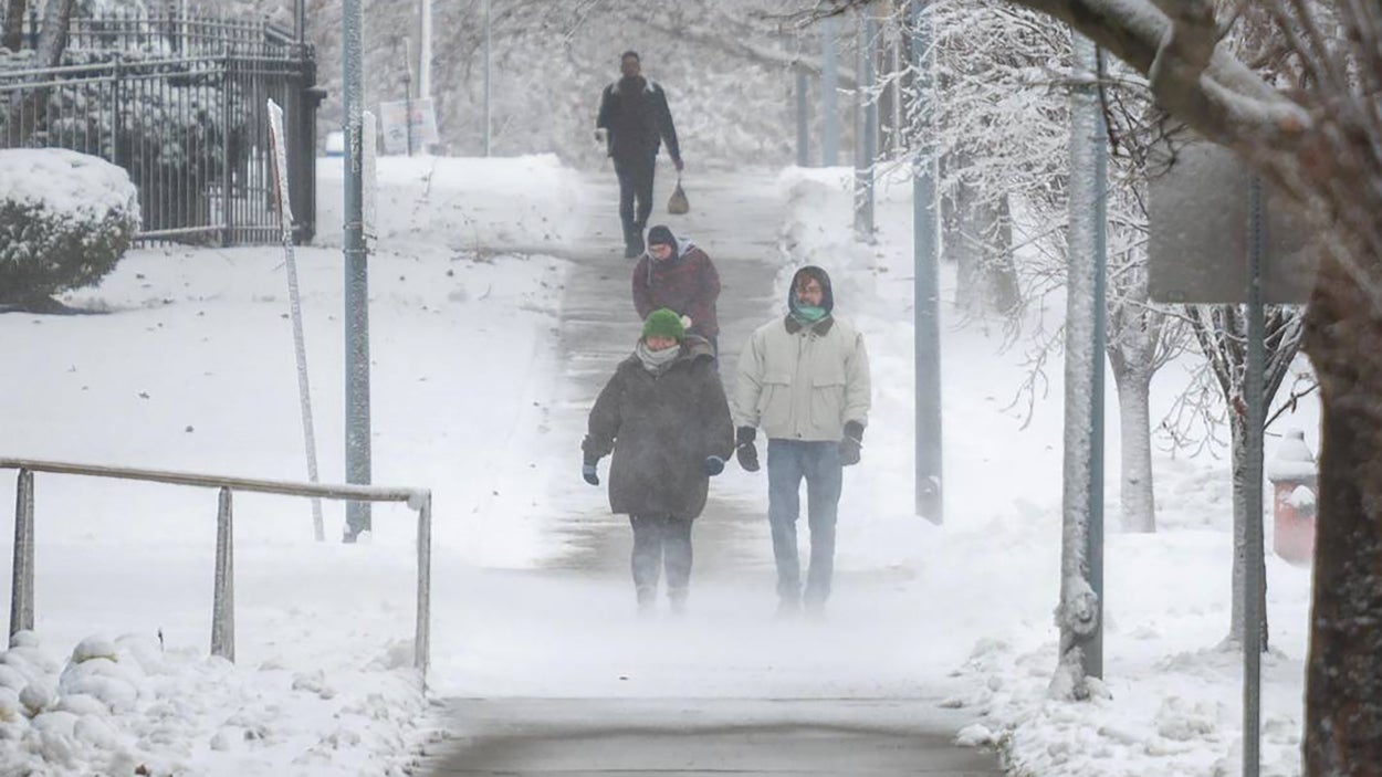
KANSAS CITY, Mo. – As the calendar flips to 2025, so too will the script on winter weather across the eastern half of the country. It has been a very quiet start to winter from the central Plains through the Ohio Valley, with most areas running well below average in terms of snow, the FOX Forecast Center said. That will change this weekend as a wide-ranging significant winter storm is expected to bring widespread impacts to these areas and more. HOW TO WATCH FOX WEATHERSnow, freezing rain and thunderstorms are all likely from this disruptive system.The FOX Forecast Center said the storm’s origins are currently in the Pacific Ocean. On Saturday, it will move onshore and through the Northwest, dropping mountain snow.By Sunday, the storm will shift towards the central U.S., and a clash between cold and warm air will lead to significant winter weather.The central Plains and lower Ohio Valley will likely see a mix of snow and ice on Sunday. On Sunday night, the rest of the Ohio Valley, mid-South, central Appalachians and possibly the mid-Atlantic will be affected. The storm is expected to weaken Monday upon crossing the Appalachians, though wintry weather is still likely across the mid-Atlantic and perhaps as far south as the Carolinas, the FOX Forecast Center said.Details on the exact snow amounts and placement will be determined in the coming days, but at this time, at least “plowable” snow is increasingly likely from the north-central Plains through the Ohio Valley, according to the FOX Forecast Center.Just south of the snow, an ice storm is possible with hours of freezing rain likely.
/
January 1, 2025
Midwest faces major winter storm this weekend with snow, ice and heavy rain possible into mid-Atlantic states


