
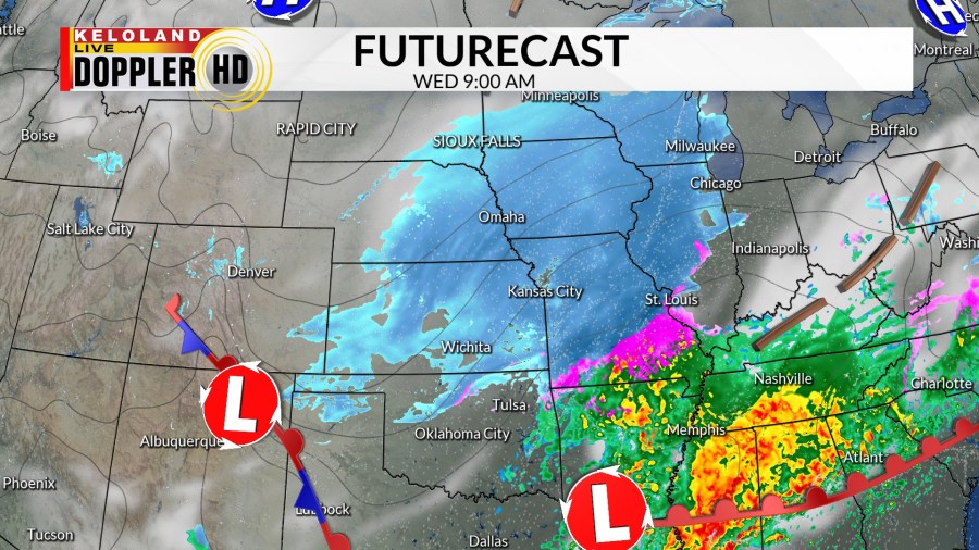
SIOUX FALLS, S.D. (KELO) – Snow returns to southeast KELOLAND.
A strong storm system to our south will bring moisture into southeast KELOLAND today. The best chance for accumulating snow will be from Mitchell to Worthington and south. The farther south you go, the higher the chance for snow and amounts.
WINTER WEATHER ADVISORIES are in effect for eastern Nebraska and western Iowa. This is where snow amounts will likely exceed 3 inches.
It will be another cold day with highs in the single digits and teens. Winds will be light.
With slowly clearing skies tonight, temperatures will fall to the teens and 20s below zero. Expect light northerly winds.
Dry skies can be expected tomorrow, but it will remain cold with highs in the teens and 20s.
Friday will bring a warm front to eastern KELOLAND. This front will help bring in warmer temperatures as highs reach the 20s (still below average). The warm front will act as a focal point for snow development in eastern KELOLAND late Friday into Saturday.
The rest of the weekend will be dry and cold with highs in the single digits and teens.
An Alberta Clipper will move through the upper plains on Monday. This can yield another chance for snow across all of KELOLAND. Along with the snow, temperatures will remain cold and winds will be stronger.


