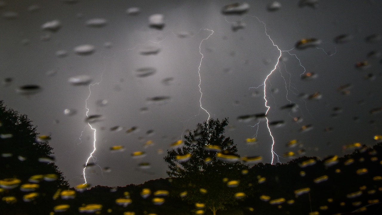
JACKSON, Miss. – As a coast-to-coast winter storm slices across the U.S. Sunday and Monday, severe thunderstorms fired up across portions of the South on the warm side of the storm system.The severe weather threat started Sunday afternoon and continued into the night, moving from the Sabine River Valley in East Texas into parts of the mid-South and lower Mississippi Valley.WINTER STORM LIVE TRACKER: SNOWFALL MAPS, CURRENT ALERTS, POWER OUTAGE FORECASTSNOAA’s Storm Prediction Center issued a Tornado Watch for far eastern Arkansas, eastern and southeastern Louisiana and a large portion of Mississippi until Sunday night. WHAT IS THE DIFFERENCE BETWEEN A TORNADO WATCH, TORNADO WARNING AND TORNADO EMERGENCY?Damaging wind gusts, large hail and tornadoes were the primary threats from severe storms on Sunday.The highest threat of severe thunderstorms centered over portions of northern Louisiana, western Mississippi and southeastern Arkansas, where NOAA’s Storm Prediction Center issued a Level 3 out of 5 risk of severe weather. EF-2 or stronger tornadoes were possible in the region.HOW TO WATCH FOX WEATHERSome of these areas were recently ravaged by a deadly tornado outbreak last weekend that killed at least four people when severe thunderstorms spawned dozens of tornadoes in at least seven states.ADVICE FOR DEALING WITH STORM ANXIETY WHEN SEVERE WEATHER THREATENSThe severe storms will diminish in coverage overnight before a renewed threat develops farther east on Monday.While Monday’s severe weather risk is lower, a few severe thunderstorms packing damaging winds and perhaps an isolated tornado are possible in parts of Florida and South Georgia.Much colder air arriving in the wake of the coast-to-coast winter storm will end the threat of thunderstorms by Monday night.
/
January 5, 2025
Severe thunderstorms threaten South on warm side of coast-to-coast winter storm
