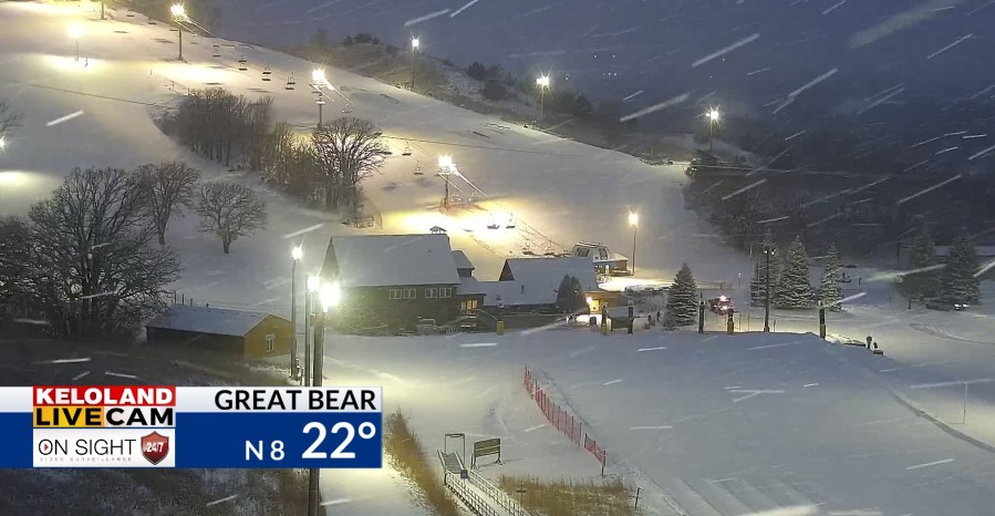
SIOUX FALLS, SD (KELO) — Wintry conditions will remain in place for eastern KELOLAND as snow slowly departs to the east. While road crews have been out and about over the course of the night and early morning, roads may still be slick at times…so give yourself extra time to get where you need to be safely.
Winter weather advisories remain in effect until 12 pm CST for portions of northeastern South Dakota as well as the I-29 corridor from the SD/ND border to Beresford. This also includes I-90 from Minnehaha County into SW Minnesota and extreme NW Iowa. Along the Buffalo Ridge, including Marshall, a winter weather advisory is in effect until 3 pm CST Saturday.
An additional inch or two will be possible in the advisory area before the snow is all said and done.
We’ll clear out overnight, which will set us up for a rather nice Sunday with mostly sunny skies in place. It may even be a bit mild south of Highway 212 with upper 20s and low/mid 30s possible. Don’t get used to this, as cold air returns quickly.
Along with cold air coming back into the region, we’ll have a few more chances for snow that will develop. The first arrives on Monday with a system that develops later in the day. After another low attempts to clip southeastern KELOLAND on Wednesday, we’ll watch another chance for snow develop on Friday for Valentine’s Day.
Here’s a look at your extended forecast: