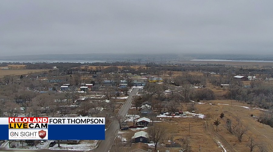
SIOUX FALLS, SD (KELO) — Foggy conditions have been an issue to the north and east, and those issues won’t be going anywhere as we head into the night.
Dense fog advisories are in effect for areas along the Missouri River as well as parts of eastern and northeastern KELOLAND through this evening and even into Tuesday morning. Visibility may drop below a quarter-mile at times. Please be careful if you must head out and about.
The fog lingers into Tuesday morning, but we’ll see improvement as we head into the afternoon. In fact, we’ll be struggling to find something to talk about as we go later into the week with regard to active weather.
Through Christmas Day and even a little bit afterward, dry weather is what we’ll have on tap. Folks dreaming of a white Christmas will have to wait until next year…or travel to the northeastern United States at the last minute. I digress. Moisture will be tough to come by as we go through Thursday, but a change of pace is on the way.
By the end of the week, we’ll have some moisture moving into the region. Unfortunately for snow fans, we’ll have well above average temperatures in place during this time. So, we’ll be looking at rain as a result going into early Saturday…especially to the east.
Above average temperatures hold steady through Sunday before we watch the start of next week. Moisture moves back into the picture as another system approaches, but we’ll have to watch the temperature profile as we head into the start of next week…with colder temperatures trying to make a move by the New Year.
Here’s a look at your extended forecast:
