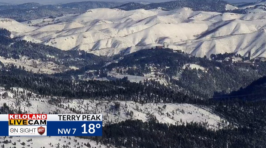
SIOUX FALLS, SD (KELO) — After some morning snow showers in portions of northeastern and southeastern KELOLAND, we have been able to get in on a mainly quiet afternoon for much of the region. While most locations today at least got into the teens and low 20s, the northwest portion of South Dakota was stuck around 10 degrees.
As of 2:30 pm CST Tuesday
High pressure at the surface will move in and gradually clear us out tonight. While that’s typically a good thing, it’ll set us up for one more rather cold night with lows around 0 in many areas.
After that, we’ll begin our climb up the thermometer for the next few days. Wednesday is the transition day, especially East River, with milder air via southerly and southwesterly flow building into KELOLAND.
The first of a few small systems will make its move on Thursday as a frontal boundary sweeps through KELOLAND. Overall, any snow totals are expected to be light (An inch or less in many areas) with the passage of this bit of energy. We’ll quiet down again for Friday.
The weekend features yet another little system that moves through the area, but this will be able to work with a little more moisture. It isn’t a significantly higher amount, but an inch or two of snow is possible in more areas with some localized higher amounts along the Prairie Coteau and the Buffalo Ridge.
Quieter conditions return for the start of next week, but the milder temperatures won’t come with it. It won’t be as bone-chilling as it has been, but we’ll be closer to average for this time of year.
Here’s a look at your extended forecast:
