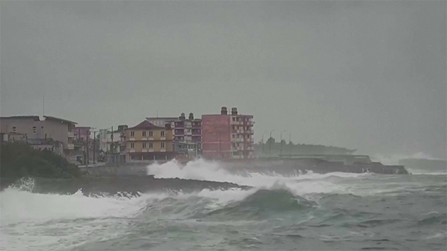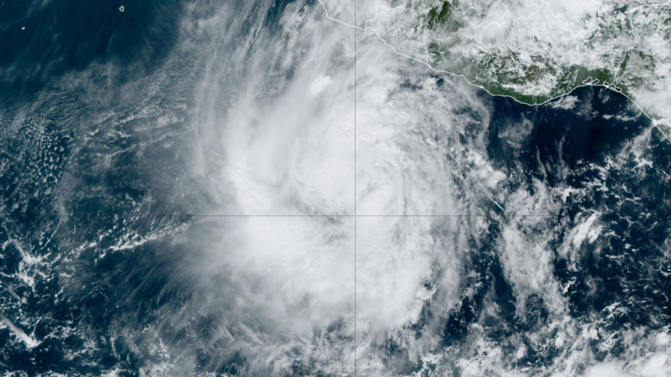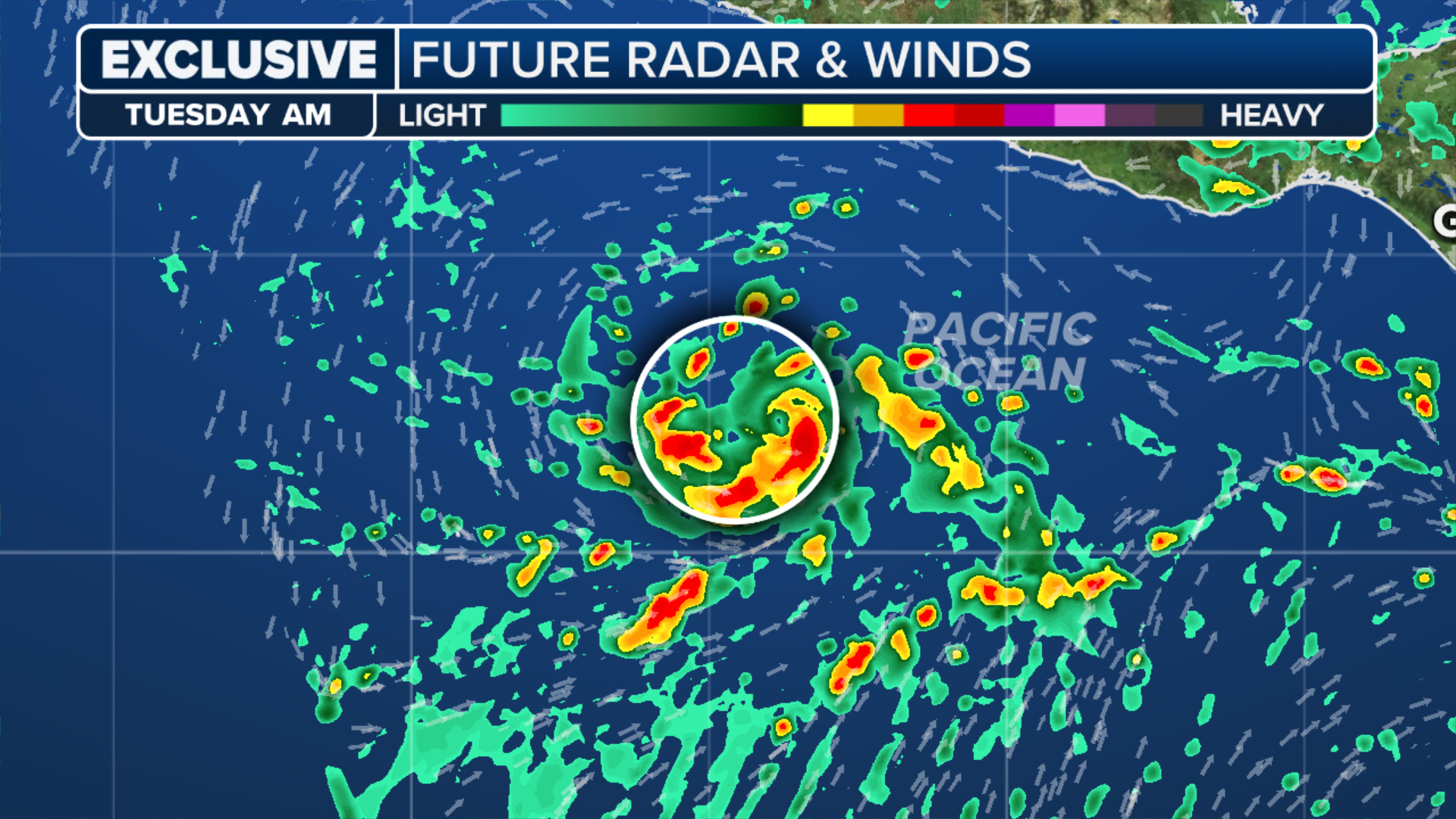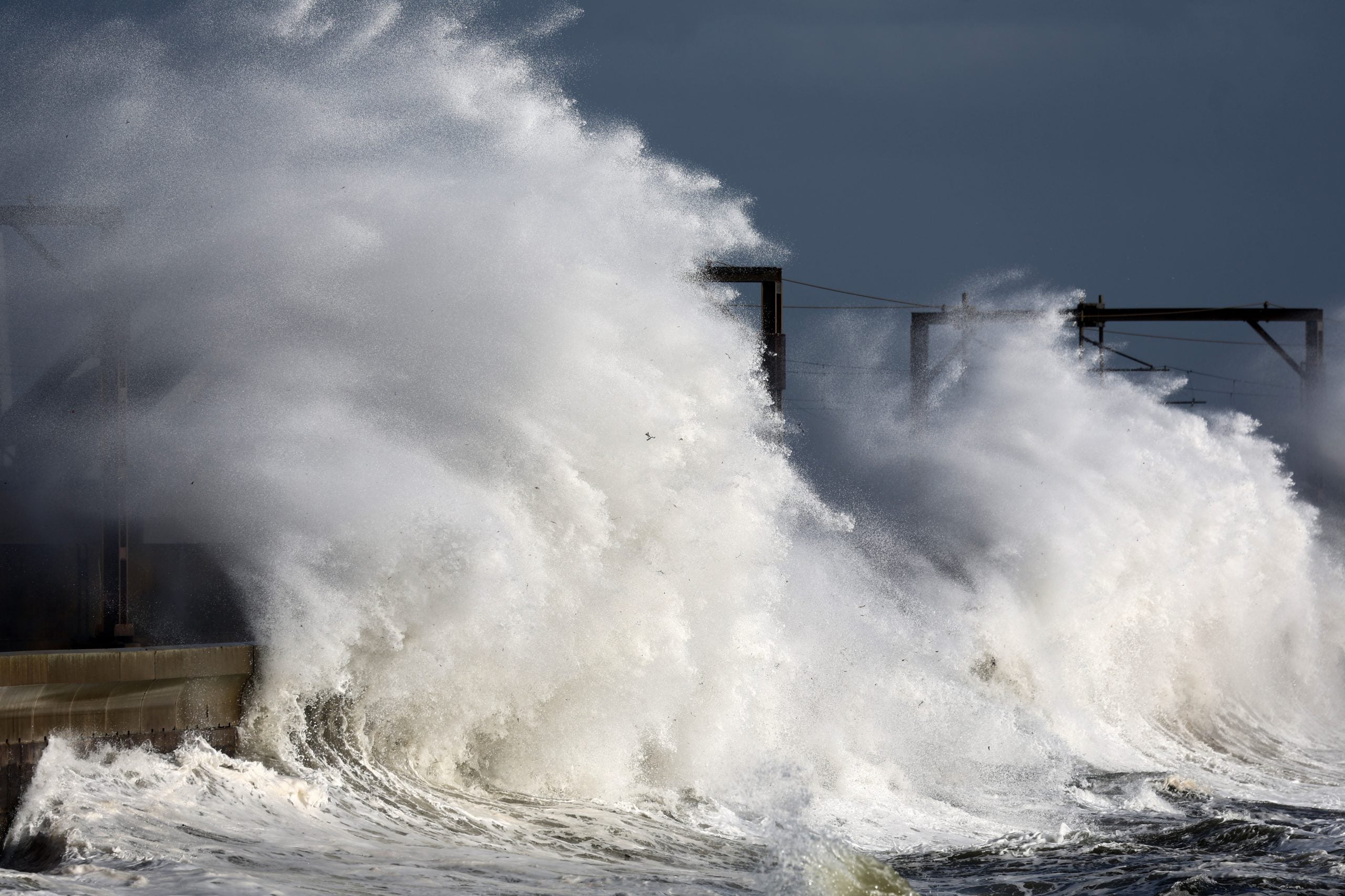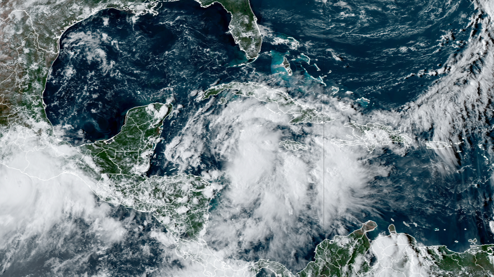
MIAMI – Millions of people from Louisiana to Florida are keeping their eyes on Potential Tropical Cyclone Nine, which was designated in the Caribbean Sea on Monday and is forecast to wreak havoc on the U.S. Gulf Coast later this week, potentially as a major hurricane.A potential tropical cyclone designation permits the National Hurricane Center (NHC) to issue routine advisories on a system that has not yet developed into a tropical depression or tropical storm but brings a threat of 39-plus-mph winds to land within 48 hours.This falls within the time window of posting tropical storm and hurricane alerts, allowing the NHC to issue them with additional lead time and provide at-risk people with more advance notice of possible impacts in their area.BRYAN NORCROSS: INCREASING THREAT OF POWERFUL HURRICANE IMPACTING FLORIDA THURSDAYAccording to the NHC, there is the potential for a dangerous and life-threatening storm surge, heavy rain and strong winds to impact the Florida Panhandle and the west coast of Florida.National Hurricane Center Deputy Director Jamie Rhome told FOX Weather that over the past 24 hours, the forecast models have started to come into agreement, showing a Florida landfall. “It’s looking increasingly like this is going to be primarily a Florida impact and potentially a significant one at that,” Rhome said. “Our initial forecast showed a borderline Category 2/Category 3 hurricane on the Saffir-Simpson (Wind) Scale as it makes landfall.”TRACKING POTENTIAL TROPICAL CYCLONE 9: LIVE FORECAST CONE, SPAGHETTI MODELS, ALERTS, WIND PROJECTIONS AND MOREAs Potential Tropical Cyclone Nine gathers strength and heads toward the warm waters of the Gulf of Mexico, millions of people across the region have been told to prepare for potential impacts.Florida Gov. Ron DeSantis issued an executive order on Monday declaring a state of emergency for 41 counties in the Sunshine State to help agencies prepare for the storm. “We will continue to monitor the storm’s path and keep Floridians updated. Now is the time to make an emergency plan, know your evacuation zone, and be as prepared as possible for the storm,” DeSantis said on X. In Leon County, which is home to Florida’s capital of Tallahassee, sandbags are being offered to residents in anticipation of torrential rain and flooding.HOW TO PREPARE FOR HURRICANE SEASONThe city of Tallahassee is also making other preparations in advance of the incoming storm. City officials said crews would be working to check areas known to flood and will remove obstructions and post warnings for drivers.”Should roads be impacted, all motorists should use caution and not drive through flooded areas or around barricades,” city officials wrote on their website.Utility crews are also getting ready to be deployed, and extra staff will be on standby in case their services are needed.DOWNLOAD THE FREE FOX WEATHER APPStorm impacts are forecast to reach beyond Florida into the Southeast because the system will have a fast forward speed after landfall.”It’s going to be booking it when it moves over Florida. What that allows a storm to do is spread those strong winds farther inland than might normally expect,” Rhome said. “So that’s going to be our next concern, is making sure those inland locations understand the extreme wind risk that could come with this one.”As of the latest advisory from the NHC, Potential Tropical Cyclone Nine is located about 105 miles southwest of Grand Cayman and 315 miles southeast of the western tip of Cuba.Potential Tropical Cyclone Nine has maximum sustained winds of 35 mph, and it is moving to the north-northwest at 7 mph.WHAT TO PUT IN AN EMERGENCY KIT”The system is expected to intensify into a major hurricane before it approaches the northeastern Gulf Coast on Thursday,” the NHC said. “While it is too soon to pinpoint the exact location and magnitude of impacts, the potential for life-threatening storm surge and damaging hurricane-force winds along the coast of the Florida Panhandle and the Florida west coast is increasing.”With the latest NHC advisory, Tropical Storm Watches were issued for the lower Florida Keys south of the Seven Mile Bridge and for the Dry Tortugas. The NHC said Storm Surge and Hurricane Watches will likely be issued for a portion of the Florida Panhandle on Monday night or Tuesday morning, and residents should ensure they have their hurricane plan in place.A Tropical Storm Warning was issued for Grand Cayman, Mexico’s Yucatan Peninsula from Rio Lagartos to Tulum and portions of Cuba.A Hurricane Watch was posted from Cabo Catoche to Tulum in Mexico’s Yucatan Peninsula and western Cuba.FORECASTERS TRACKING 2 AREAS OF CONCERN FOR TROPICAL DEVELOPMENT IN ATLANTICAccording to the NHC, Potential Tropical Cyclone Nine is expected to continue on a northwestward track Tuesday and Tuesday night, followed by a faster northward or north-northeastward motion on Wednesday and Thursday. The NHC said the center of the system is forecast to move across the northwestern Caribbean Sea through Tuesday night and then track across the eastern Gulf of Mexico on Wednesday and Thursday.It’s expected to intensify into a hurricane on Wednesday and continue strengthening on Thursday as it moves across the eastern Gulf of Mexico.