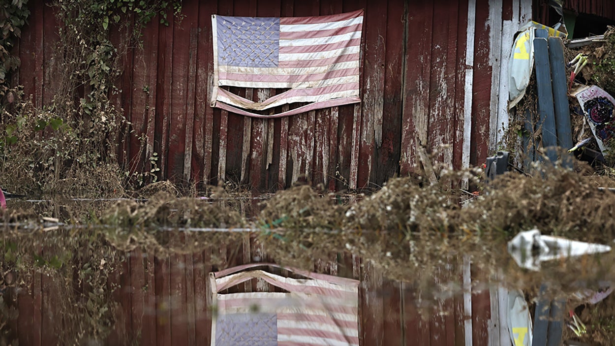
ASHEVILLE, N.C. – Heavy rain fell across parts of western North Carolina on Thursday for the first time since Hurricane Helene’s devastating flooding, as many continued to rebuild their homes.A developing coastal storm causing flooding in eastern South and North Carolina is bringing the first substantial rain to western North Carolina in over a month. The National Weather Service in Greenville-Spartanburg, South Carolina, described Thursday’s forecast as “kind of miserable” with cooler temperatures, breezy conditions and rain across the region. NORTH CAROLINA MAN OFFERS THANKSGIVING FEAST OF HOPE TO 5,000 HELENE SURVIVORSAsheville, an area with widespread destruction from Helene’s flooding, has received just a half-inch of rain since Sept. 28. By Thursday afternoon, nearly 1 inch had fallen, marking the wettest day for Asheville since Helene. The good news is that Friday and Saturday are forecast to be dry again. Sunshine and temperatures between 5 and 10 degrees warmer will offer some reprieve for ongoing recovery efforts. ASHEVILLE CORRIDOR OF BLUE RIDGE PARKWAY REOPENS AFTER HELENEMeanwhile, rainfall across coastal North Carolina and South Carolina is forecast to be much higher, with between 5 and 8 inches falling where flood advisories are in place. Flooding from high tides and rain have inundated areas such as Mount Pleasant and Charleston in South Carolina.Astronomical king tides will keep water levels several feet above normal for an extended period with the full Moon on Friday.
/
November 14, 2024
Western North Carolina sees most rain since devastating Helene floods


